You're currently viewing an old version of this dataset. To see the current version, click here.
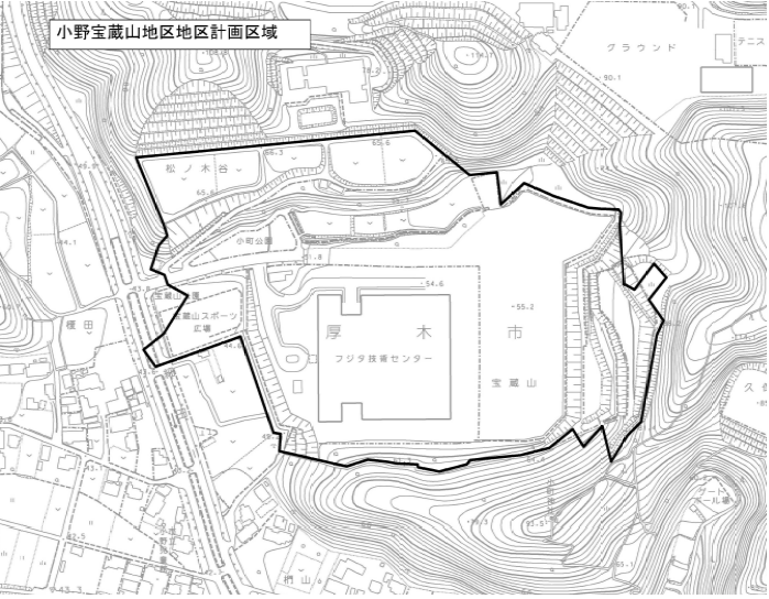
●●●●●●●●小野宝蔵山地区-計画図(画像形式(PNG) 317キロバイト)
Papildus informācija
| Lauks | Vērtība |
|---|---|
| Data last updated | 2021. gada 1. februāris |
| Metadata last updated | 2021. gada 1. februāris |
| Izveidots | 2021. gada 1. februāris |
| Formāts | PNG |
| Licence | 表示 - 非営利 4.0 国際 (CC BY-NC 4.0) |
| Has views | True |
| Id | 740c9bea-79ae-4e85-95e3-6e1072454ea7 |
| Mimetype | text/html |
| Package id | 32f45e6d-6c35-41fa-b182-58fe911b8ebb |
| Position | 2 |
| Size | 316,4 KiB |
| State | active |
| Url type | upload |